

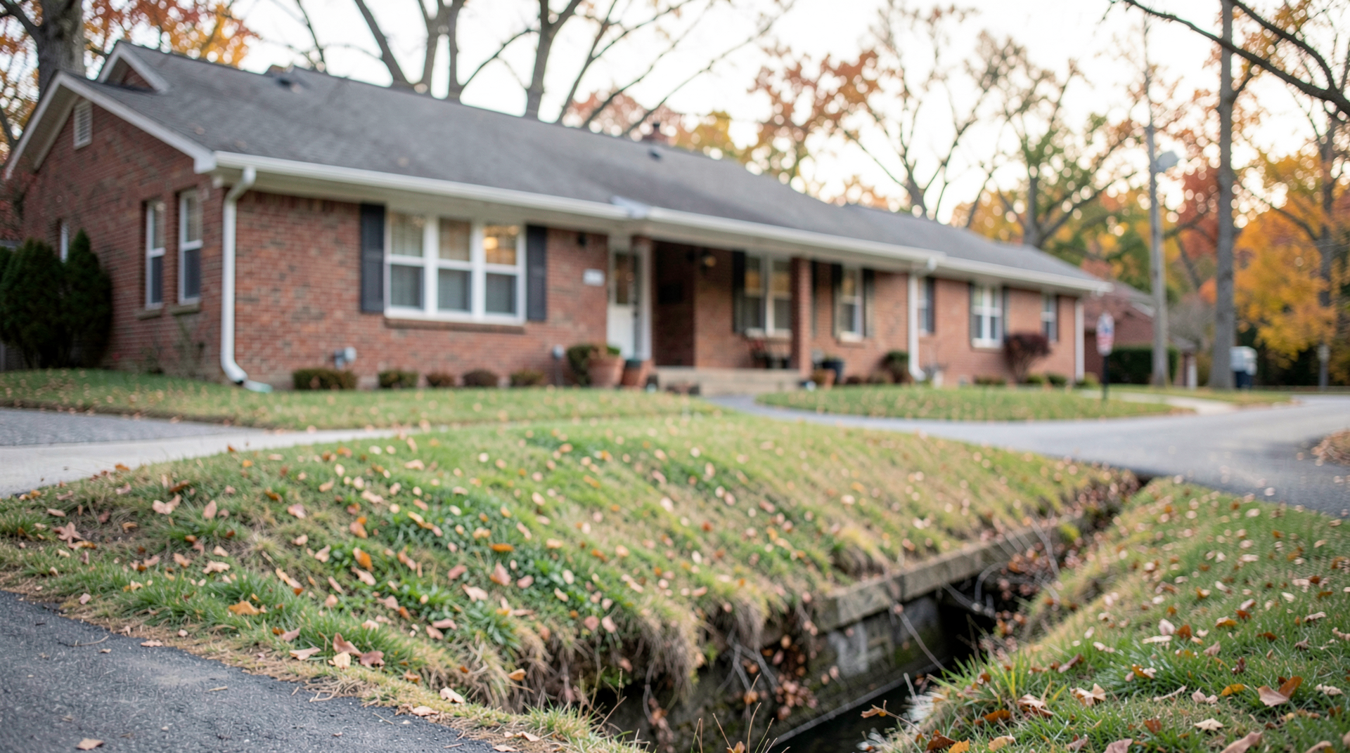
Moving outside a regulated floodplain is not the end of the question. A map change can alter a lender’s insurance requirement. It does not promise water stays out. Water can still reach a basement. A driveway can still flood. A ground-floor unit can still flood.
Water is already entering the building. Choose your call contact before things worsen. A search or a visit to Emergency Flood Restoration Lafayette supplies one local contact. Store that contact with your insurer. Hold it with your lender information.
What a FIRM Actually Shows
A Flood Insurance Rate Map is usually called a FIRM. FEMA’s map of flood hazards guides insurance decisions. The same map guides regulatory decisions. One area on it is the Special Flood Hazard Area or SFHA. People commonly call that area the 100-year floodplain.
Any given year, that labeled area has a 1% or greater flood chance. It does not mean a flood arrives only once every hundred years. Nor does it mean every property outside the line has no exposure to water.
Property owners often see the boundary as a promise. The inside of the boundary means danger. The outside of the boundary means safe. Floodplain review treats it as a regulatory line. Drainage patterns, creek conditions, surface runoff, local topography can still affect property beyond it.
Boulder County’s 2024 Map Update
Boulder County began recent remapping after the 2013 flood. CHAMP is the Colorado Hazard Mapping Program. Preliminary FEMA maps from CHAMP arrived in 2019. Revised preliminary maps followed in 2023. Updated FIRMs took effect on October 24, 2024.
the county’s 2024 flood map update dropped about 1,800 acres in unincorporated Boulder County. Those acres left the regulatory 1% annual-chance floodplain. That update added no new area.
That change matters for properties affected by the updated maps. This is especially true if a federally regulated lender has relied on the former designation. It doesn’t erase the conditions that can send water toward a building. It doesn’t settle the insurance question without a lender and insurer review.
Why Map Lines Matter
Flood maps are regulatory documents. They are not permanent certificates of safety. Boulder County says anyone can buy flood insurance in any flood zone. Nearly one-third of flood insurance claims arise outside the mapped 100-year floodplain.
Maps face limits of scale. Maps face limits of topography. An elevated patch of land can sometimes appear inside a mapped floodplain. This happens in the City of Boulder. The patch sits above the regulatory flood level. This situation is called an inadvertent inclusion.
Mapping can remain unsettled after an update. FEMA excluded the Lefthand Creek reach from the 2024 FIRM update. The reach lies between Geer Canyon and 49th Street. The excluded reach undergoes further study. An old real estate listing is a poor substitute for checking the current map.
Mandatory Purchase Rules
The mandatory purchase requirement applies when two conditions are met. A building sits in FEMA’s 1% annual-chance floodplain. Its owner has a federally regulated mortgage. Federal law then requires the owner to maintain flood insurance.
That requirement doesn’t bind every owner in Boulder County. A map change may change what a lender requires. The lender’s determination is the one that matters for the loan.
Ask which map determination the lender used. See if it applies to the building securing the mortgage. Ask the insurer about any flood coverage in place today.
Homeowners Policy Gaps
Standard homeowners insurance generally doesn’t cover flood damage. The National Flood Insurance Program is a separate coverage source. Insurance providers offer the building coverage. They also offer the contents coverage.
Those coverage types answer different questions. Building coverage concerns the structure and installed systems. Contents coverage concerns personal property inside the building.
A sewer backup may be covered by an NFIP policy. Flooding must have directly caused it. Not every sewer or drain problem is a covered flood loss. Read the policy language before water arrives.
Restoration Logistics Lafayette is a local contact for basement water and cleanup support. Make the call after the immediate safety check.
Floodplain Building Rules
Floodplain status covers more than insurance. Boulder County requires a floodplain development permit to build. Other development in regulated floodplains needs one.
An individual floodplain development permit is required. General permits do not cover the work. The owner must obtain it before construction starts. This can affect rebuilding and grading changes. An addition or equipment work near a mapped drainage area can be affected.
City of Boulder projects in designated floodplains also need a permit. Work in Conveyance or High Hazard Zones can take longer in the public process. The work may require an engineer. A contractor’s schedule does not set the start date.
When Water Gets In
Map questions can wait. Water has already entered the building. Do not approach standing water. Electrical hazards can still remain. Sewage or unknown contamination may remain too. Wait for safe conditions before any cleanup.
Collect photos for the insurer. Move only dry belongings when conditions allow. Send the loss notice fast.
Where to Start
Start with the current FEMA flood map for the property. Set a neighbor’s map aside now. Place an old disclosure packet aside. Check your mortgage paperwork against the findings. Align the map with the insurance policy you already carry. These papers do not answer one shared question.
A property in or near a mapped floodplain needs those questions first. Raise them before building or before refinancing. Raise them before a standard policy is assumed to cover flood damage. Pull up the current map. Call your lender and insurer with the property information in front of you.
